Aeneas Wilder: Writings Iwate EarthQuake 2011 - OtsuchiTimes are Japanese standard time.
| 27th March | Travelled to Ofunato, from Towa cho, in a bio-diesel high ace type van. There were three of us and a load of things that people need. Basics such as socks and shoes are always welcome.The photos are from two principal areas South of Ofunato: Tsurumaki cho and Nishitate cho, located on the Go Ishi peninsula south of Ofunato. |
|
Inland at Nishitate village |
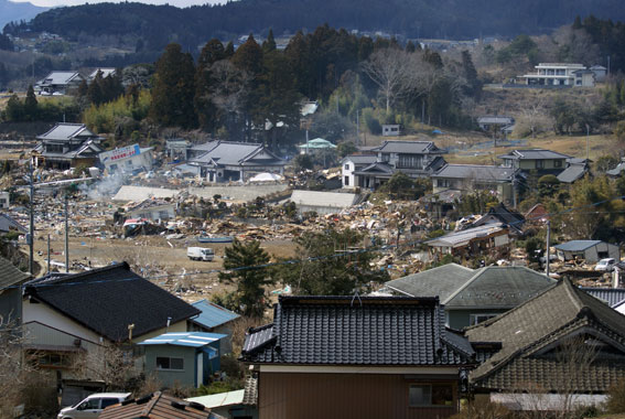 |
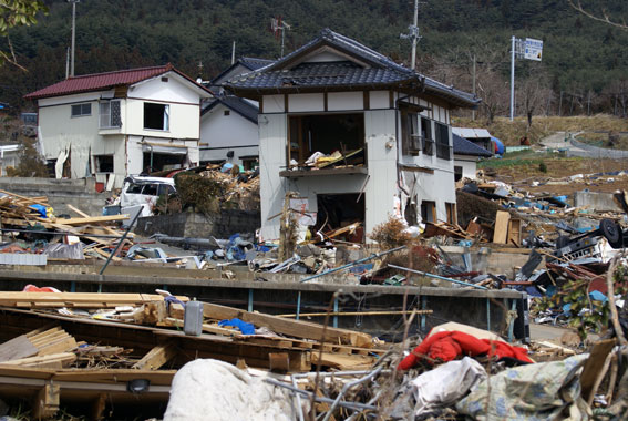
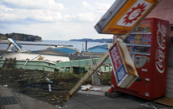
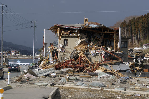
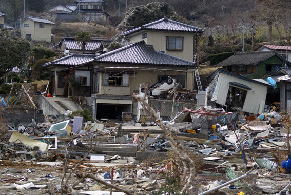
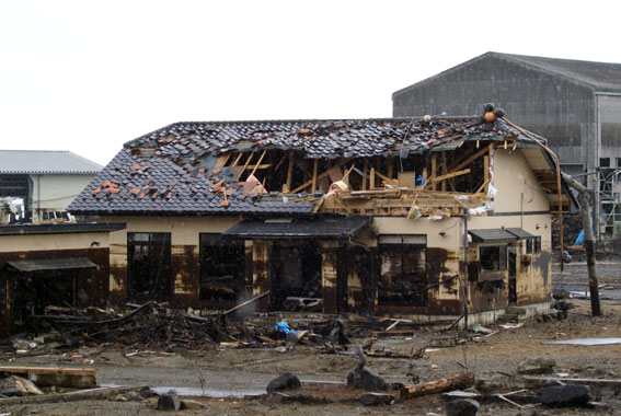
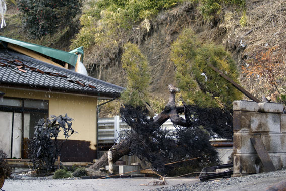
There were, infact, three tsunami's. The second Tsunami was the largest and came shortly after the first, and the inital tsunami warnings. The third tsunami came during the night and accounts for the high water mark damage and the subsequent , lower, oil slick line seen in later images here. |
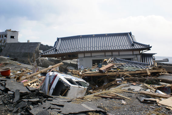
The second floor of a house dragged out to the coast line where the sea wall jhas collapsed. Tsurumaki town |
 |
|
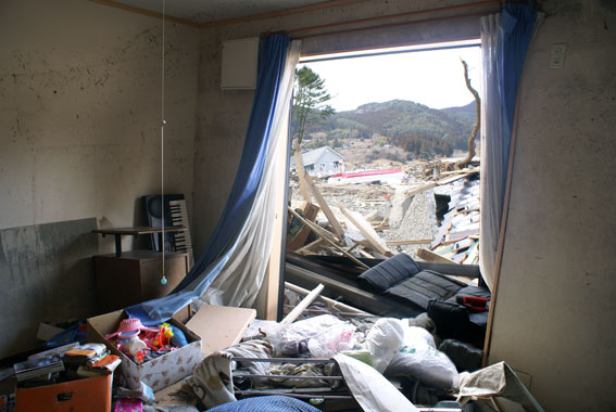
| The water level line on the wall can be seen left | 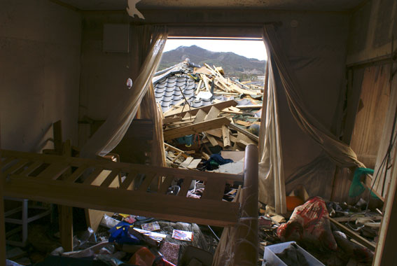 |
Although I felt quite uncomfortable, I chose to enter the second floor of this house as it was at ground level and easily accessible. |
|
|
|
Tsurumaki town |
 |
|
| Harbour front at Tsurumaki town | 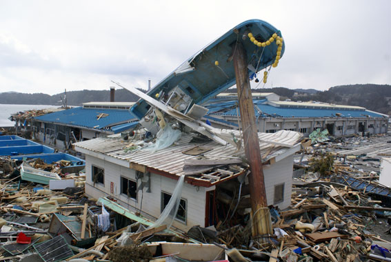 |
|
High point of Tsunami at Tsurumaki town |
 |
|
| Massaki town south of Ofunato | 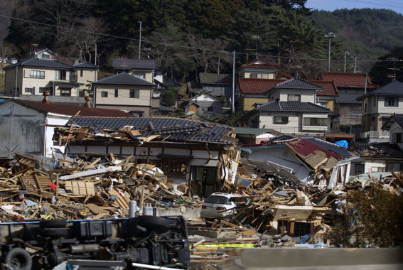 |
|
Massaki town south of Ofunato |
 |
|
Massaki town south of Ofunato |
 |
|
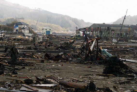
Industrial area on the east side of Ofunato. The brown/black stuff isthe remains of an oil slick |
 |
|
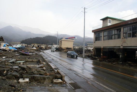
east Ofunato. On the left, the concrete foundation remains of residential area |
 |
|
Oil slick line and Tsunami damage |
 |
|
Oil slick line visible on house and trees |
 |
|
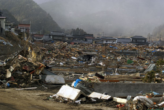
Central Ryori town |
 |
|
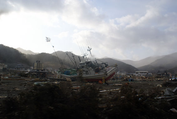 |
||
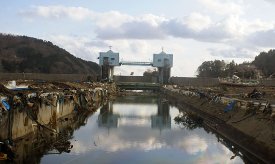
Sea wall and gate, Ryori town |
 |
|
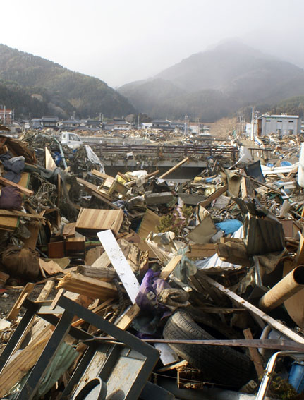
Central Ryori Town |
 |
|
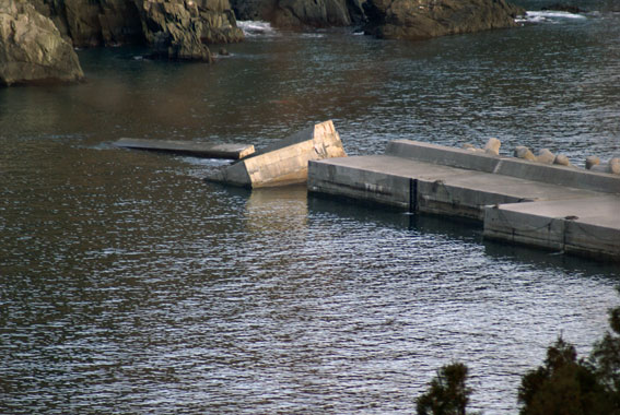
Outer harbour sea defences in Ryori bay
|
 |
|
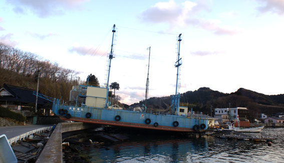
Akasaki town south east of Ofunato |
 |
